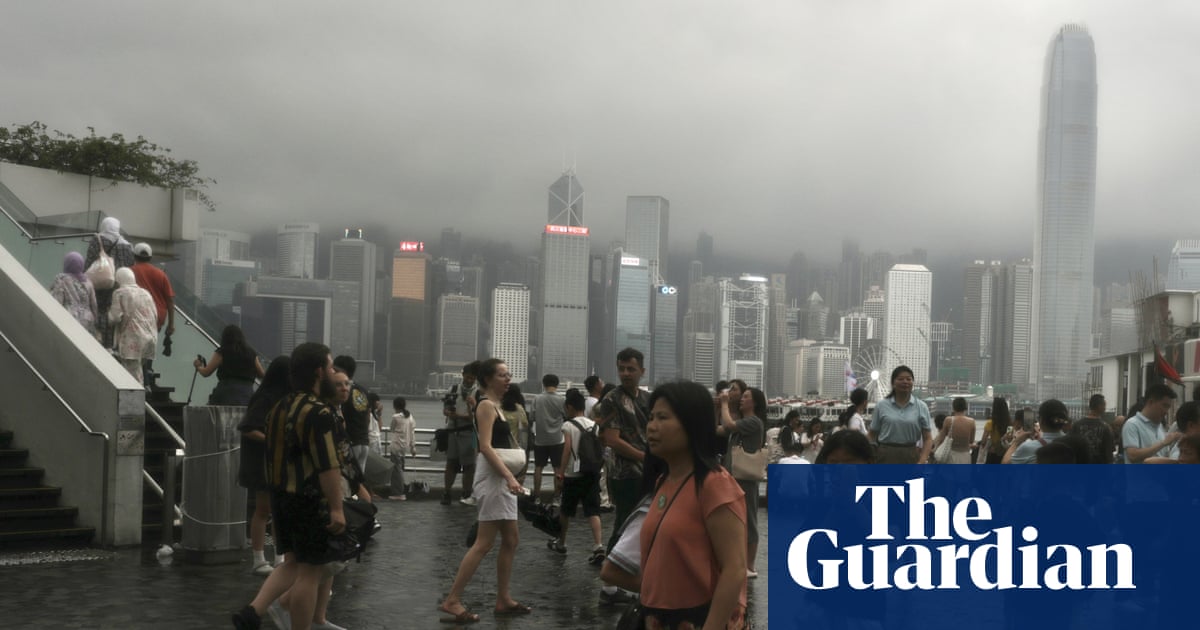
Large parts of Asia have been especially wet this week and the heavy rain is forecast to continue into next week. Hong Kong issued four black rainstorm warnings – the most times this warning has been issued in a single week.
The worst of the rainfall was on 5 August, with more than 350mm in 24 hours, the highest daily rainfall recorded in August since 1884. This caused widespread disruption on roads and flights.
The state of Uttarakhand in northern India was also hit by flash flooding and landslides as more than 200mm of rain fell within a day. One person has died and more than 50 people remain missing amid rescue efforts hampered by further heavy rain, which has made it more difficult to reach those areas in need.
Uttarakhand is highly susceptible to landslides and flooding, especially during the monsoon season. This is due to the mountainous terrain of the Himalayas, which intensifies the rainfall as moist air is forced upwards, combined with the steep-sided valleys.
After the sweltering heat in Japan last week, there was record-high rainfall in Kanazawa, the capital of the Ishikawa prefecture, on the west coast in Honshu. According to the Japanese meteorological agency, 148mm fell within three hours. This was due to an area of low pressure that moved in from the west across the Sea of Japan bringing a conveyor belt of warm moist air. This conveyor belt then supplied moisture to a cold front that was moving southwards across the country. The intensity of the rainfall was enhanced by average sea temperatures over the Sea of Japan 3-5C above the seasonal average.
Bullet trains were disrupted and roads were closed as a result of this rain. More heavy rain and thunderstorms are forecast to move in from the south-west across Japan at the weekend and into early next week as another area of low pressure moves in, with this system also affecting South Korea. This wet weather comes outside of Japan’s normal rainy season, which stretches from early June to mid-July.
Meanwhile, south-west Europe is bracing for a heatwave that is expected to start this week and become more widespread by next week. Spain and France have issued warnings of temperatures above 40C, first in northern Spain by the end of this week and southern France next week. Bordeaux and Toulouse are expected to experience the most anomalous weather as temperatures rise to more than 12C above the seasonal average.